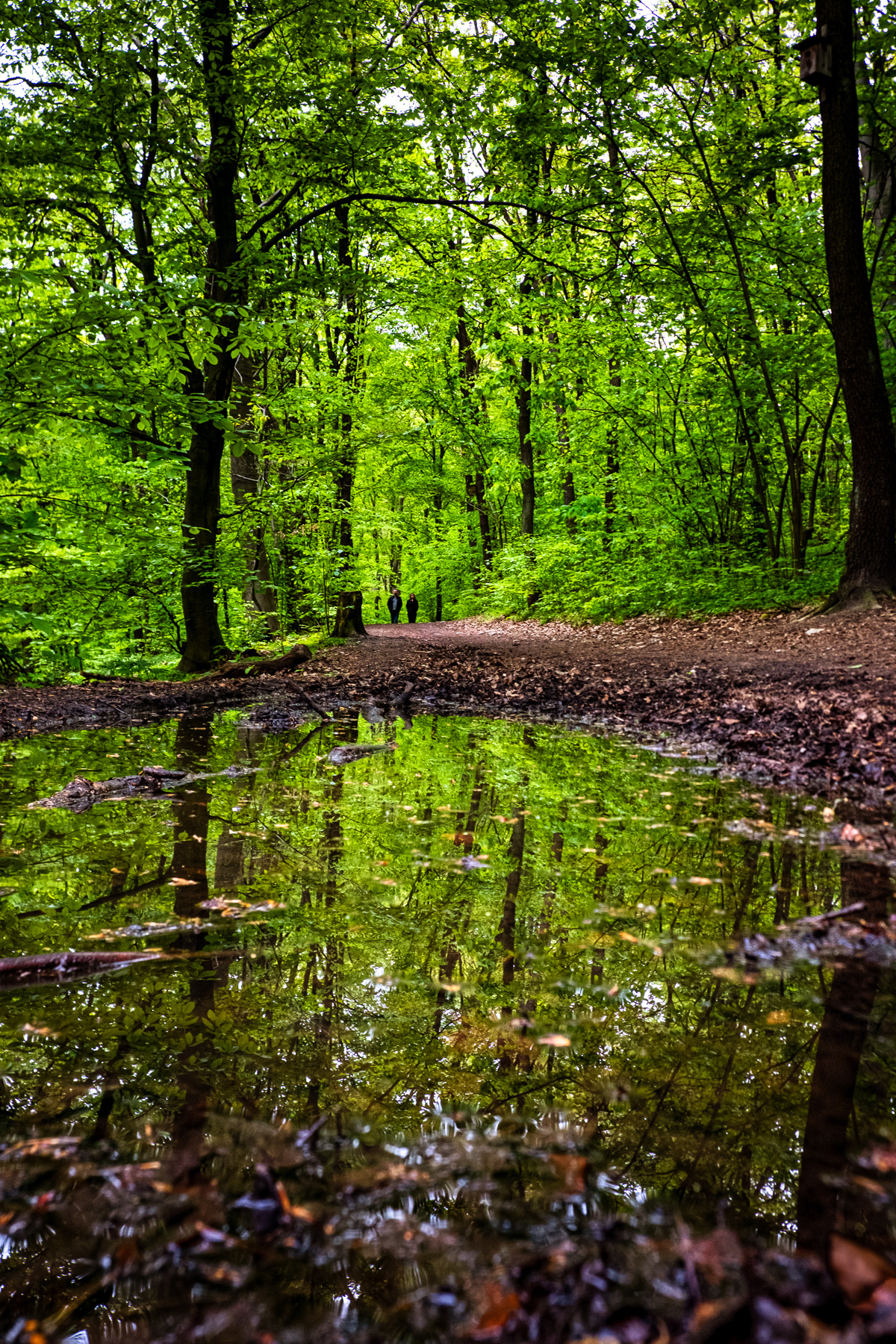
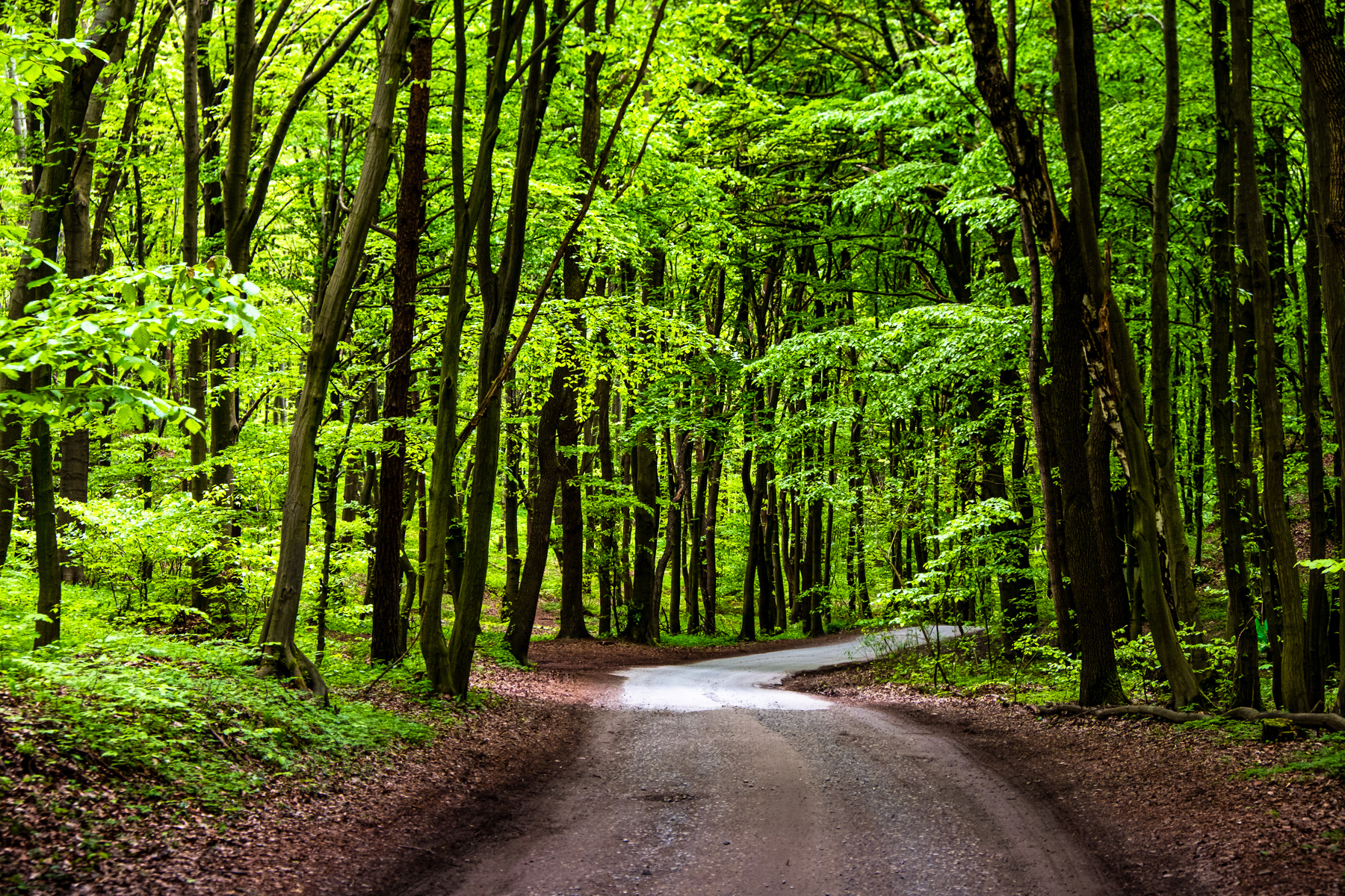
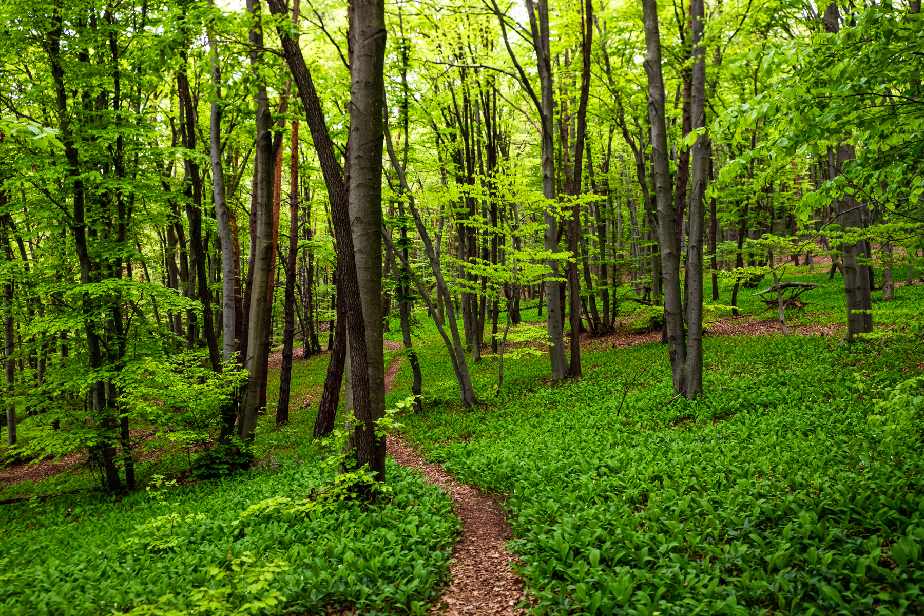
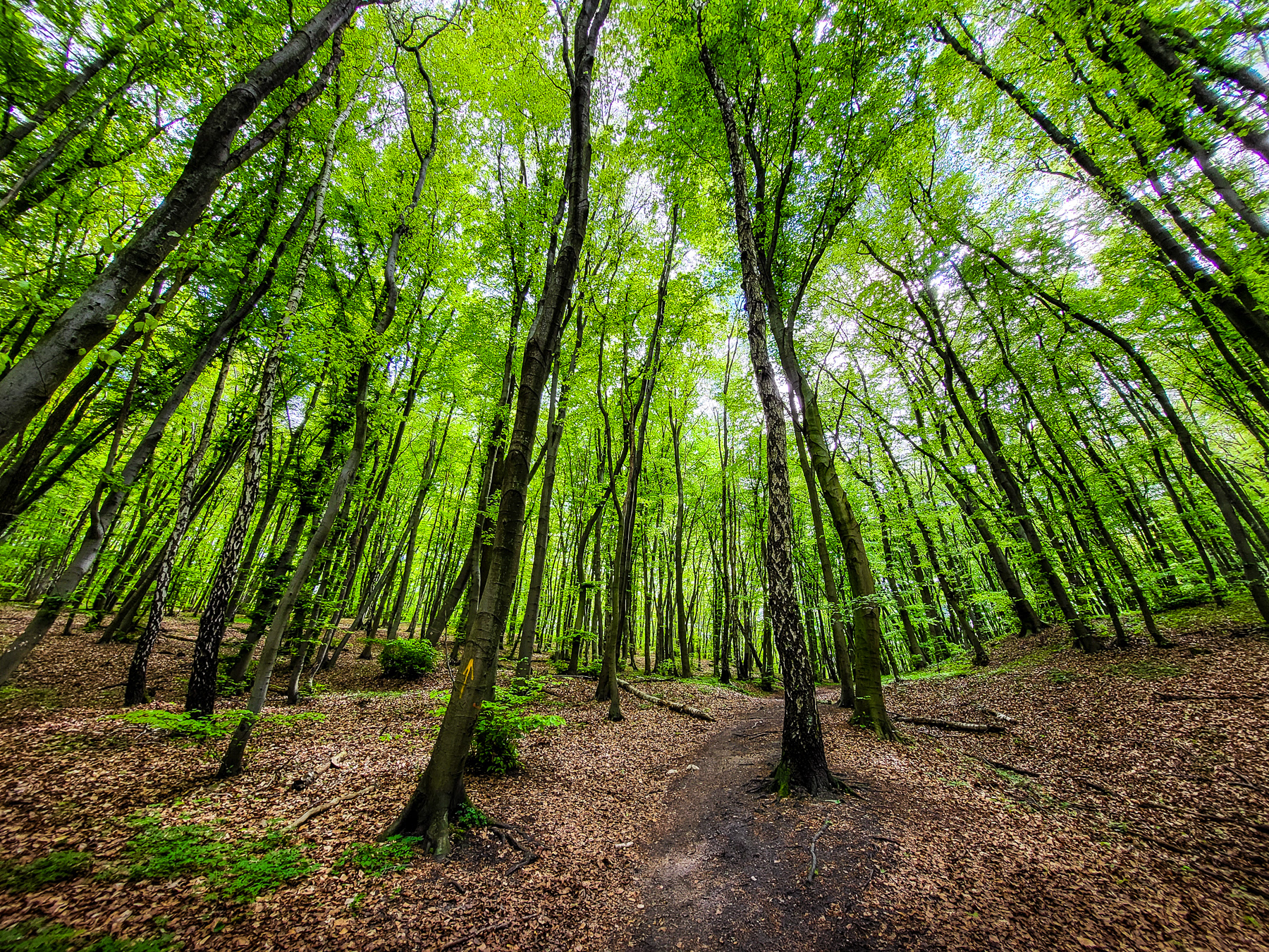
The main road leading into the forest of Tyniec and to the car park in the middle of it is already a treat.

The village of Tyniec, about 12 kilometres (8 miles) from Kraków, is most-known for its impressive monastery, beautifully situated on a rock at the Wisła (Vistula) river. But just east is a little Narnia: Lasy Tynieckie, or The Forest of Tyniec. It is a great escape from summer heath or busy daily life. The green zone upon the hill is often forgotten by tourists and locals alike, me included. The photos of these series were all made during a single day in April 2024, when the "lushy" green leaves make you feel like you are walking underneath a backlit green sky.

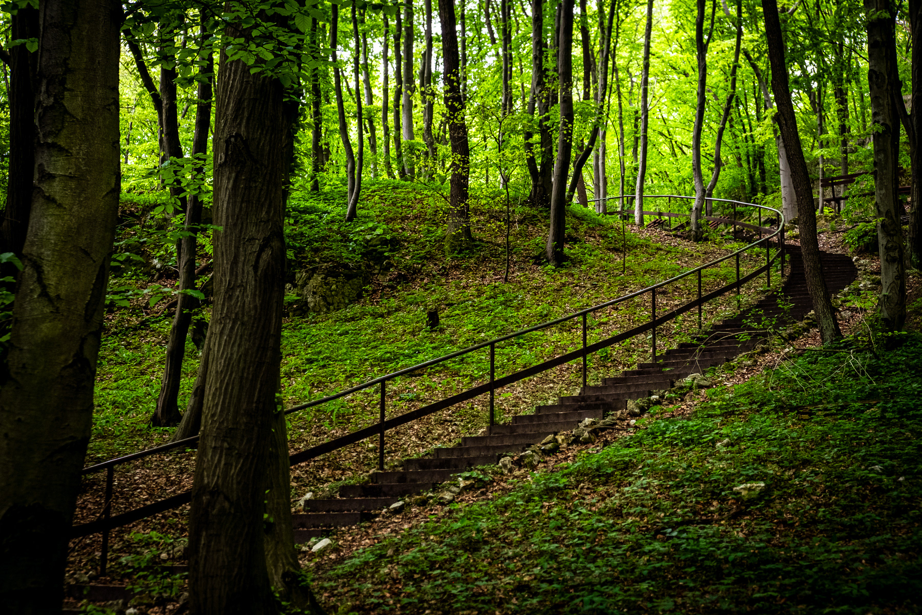
Just a little more than a hundred metres west of the car park is a good start for discovering the forest of Tyniec, the entrance to the Nature Reserve (Rezerwat Przyrody in Polish) of Skołczanka.

The unmarked trail starts with curved steps towards the local holy shrine and open-air forest chapel.
From the shrine, the trail continues north towards a viewpoint a little over 250 metres ASL for those who wish to see the city of Kraków in the distance. Left and right of the trail are exciting views into the mysterious forest.

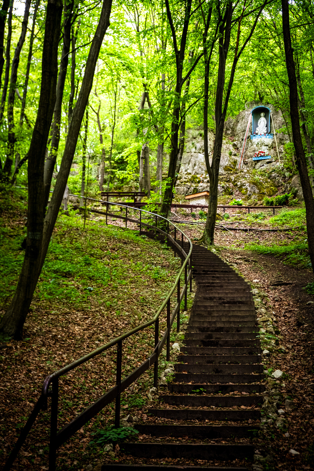
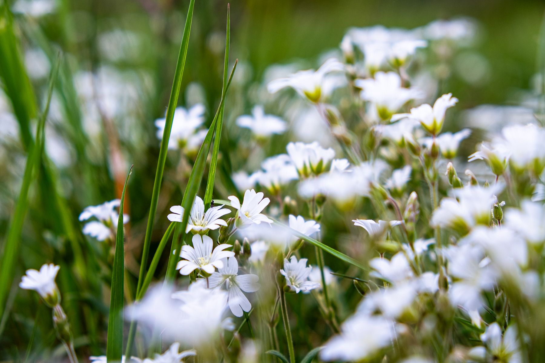
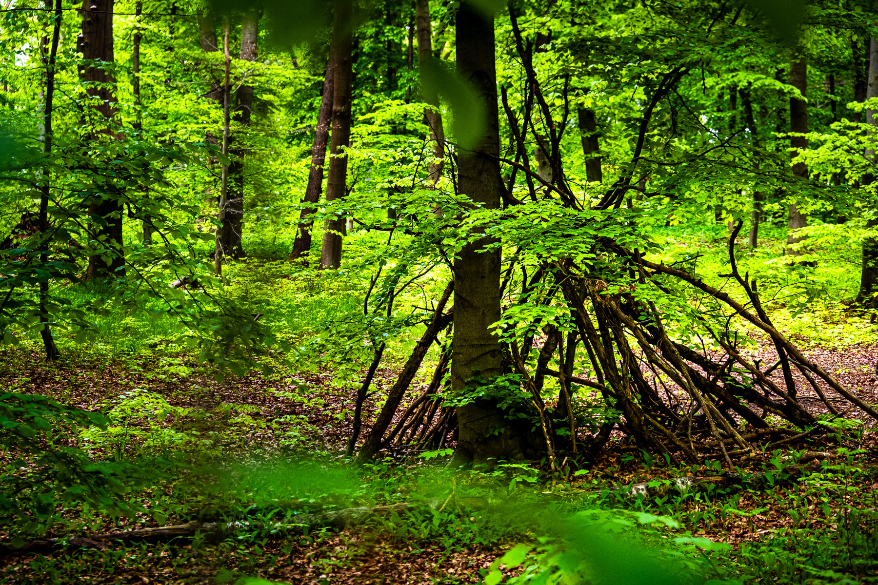
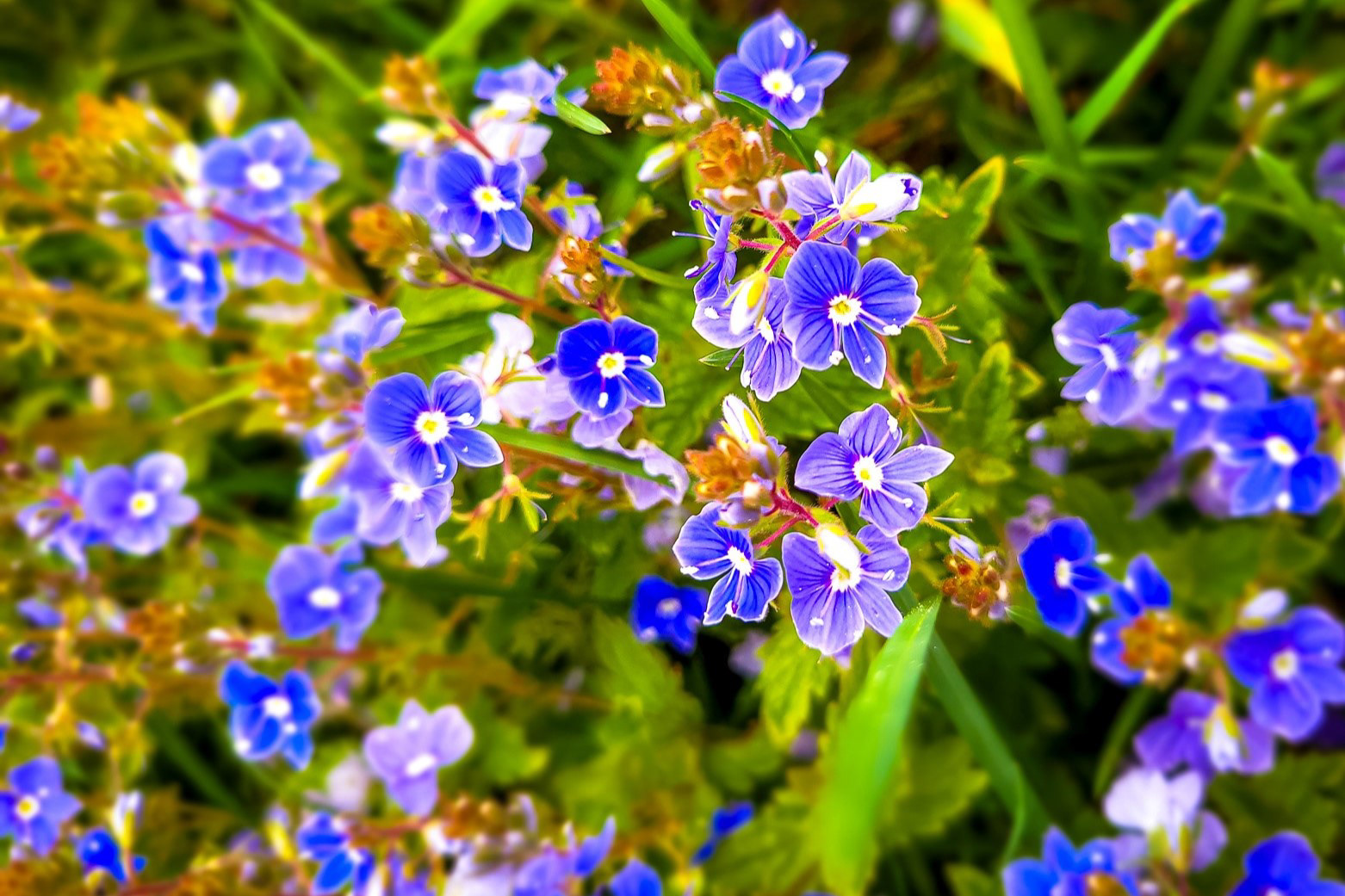
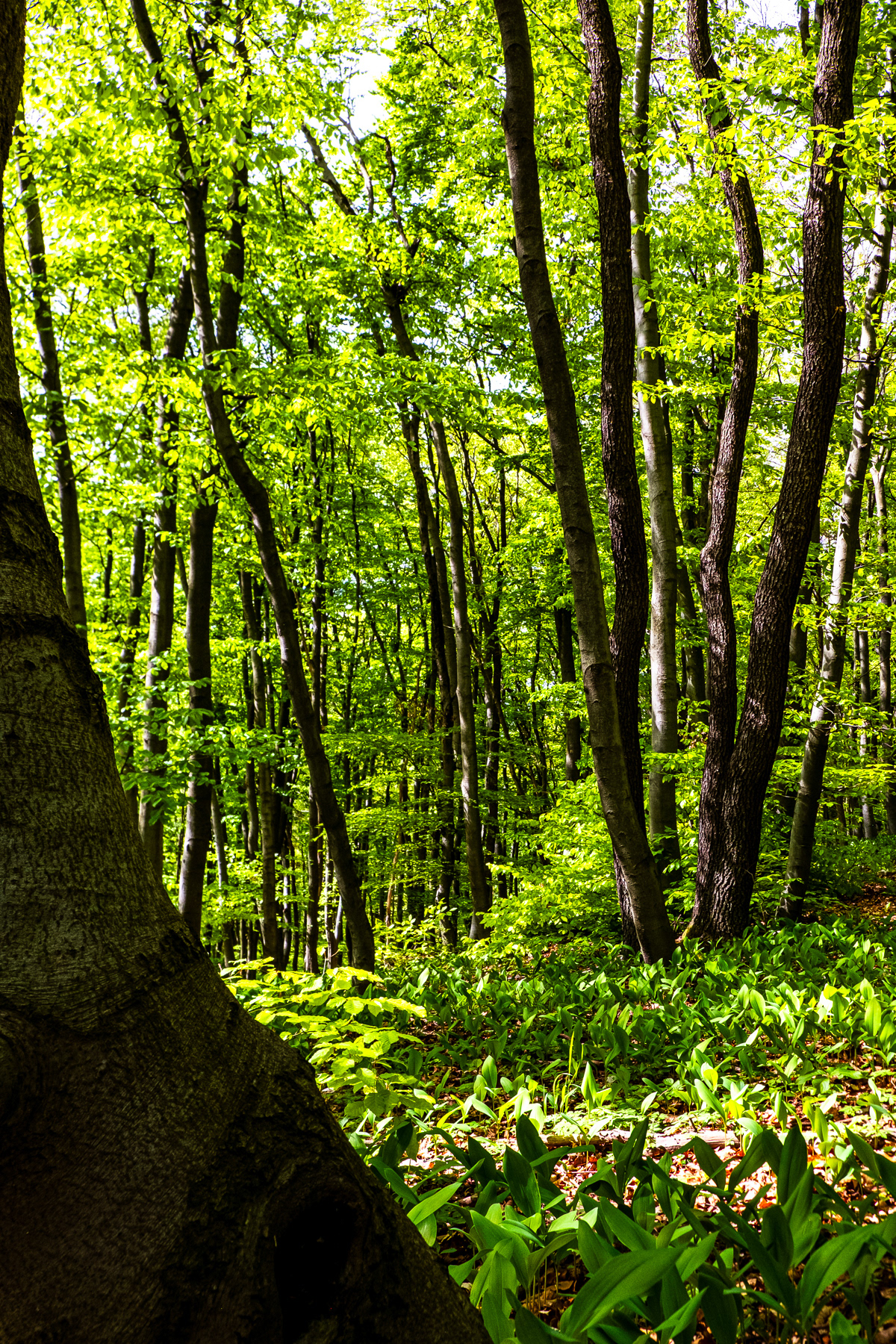
Close to the viewpoint on the northern side of the nature reserve of Skołczanka is an open field with small surprises.

After the sandy path down from the viewpoint, one rotates east and closer to civilisation. Add a small opening called Strzelnica, beyond the human-made tree shelter, the green-marked trail brings you back into the heart of the forest, heading south.
The green trail leads back to the steps to the forest chapel, and continues on the southern side of the unpaved small car road where this hike started. On the eastern side of the steps are two well-marked Jewish mass graves, signs of a sad history 80 years ago.
These two have been taken just before and after Ostra Góra, which - despite its Polish name - is neither sharp (ostra) nor a mountain (góra) as it peaks at 285 metres (935 feet) ASL without a wide view. But the top of Ostra Góra has a nice bench to take a break or eat a snack.

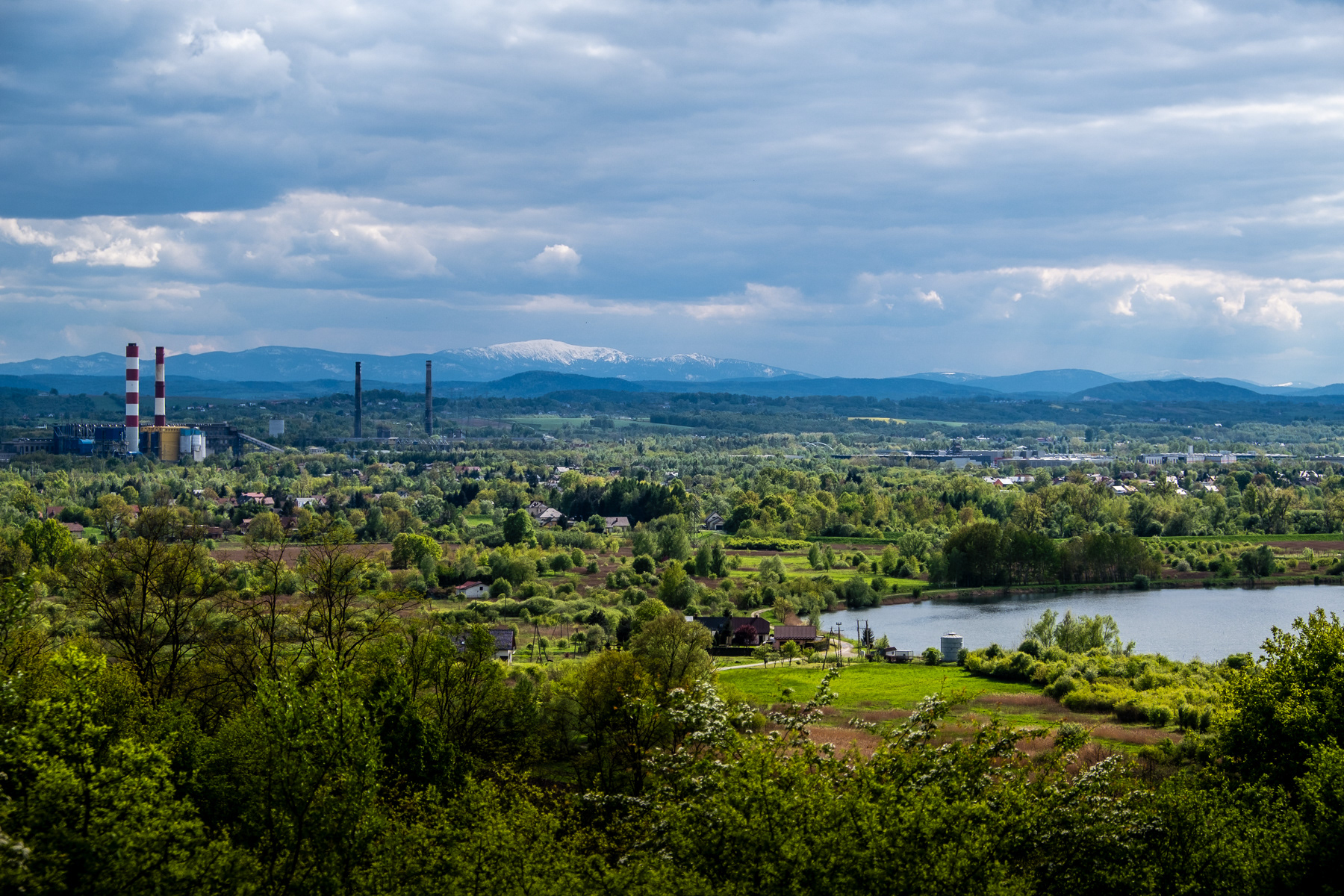
At the southern sides are local peaks, with the Stępica hill (266 metres/873 feet ASL) as the absolute highlight when it comes to the view. The industrial and residential sights of Skawina are balanced with the impressive view of the Babia Góra. Now that is a real mountain 1,725 metres (5,659 feet) ASL, about 50 kilometres (30 miles) south in a straight line. Even in late April the "Old Lady Mountain" can have snow at the top, contrasting nicely with the rest of the landscape. Want to know if its worth the climb? Check my photo album of my hikes up to the Babi Góra here.

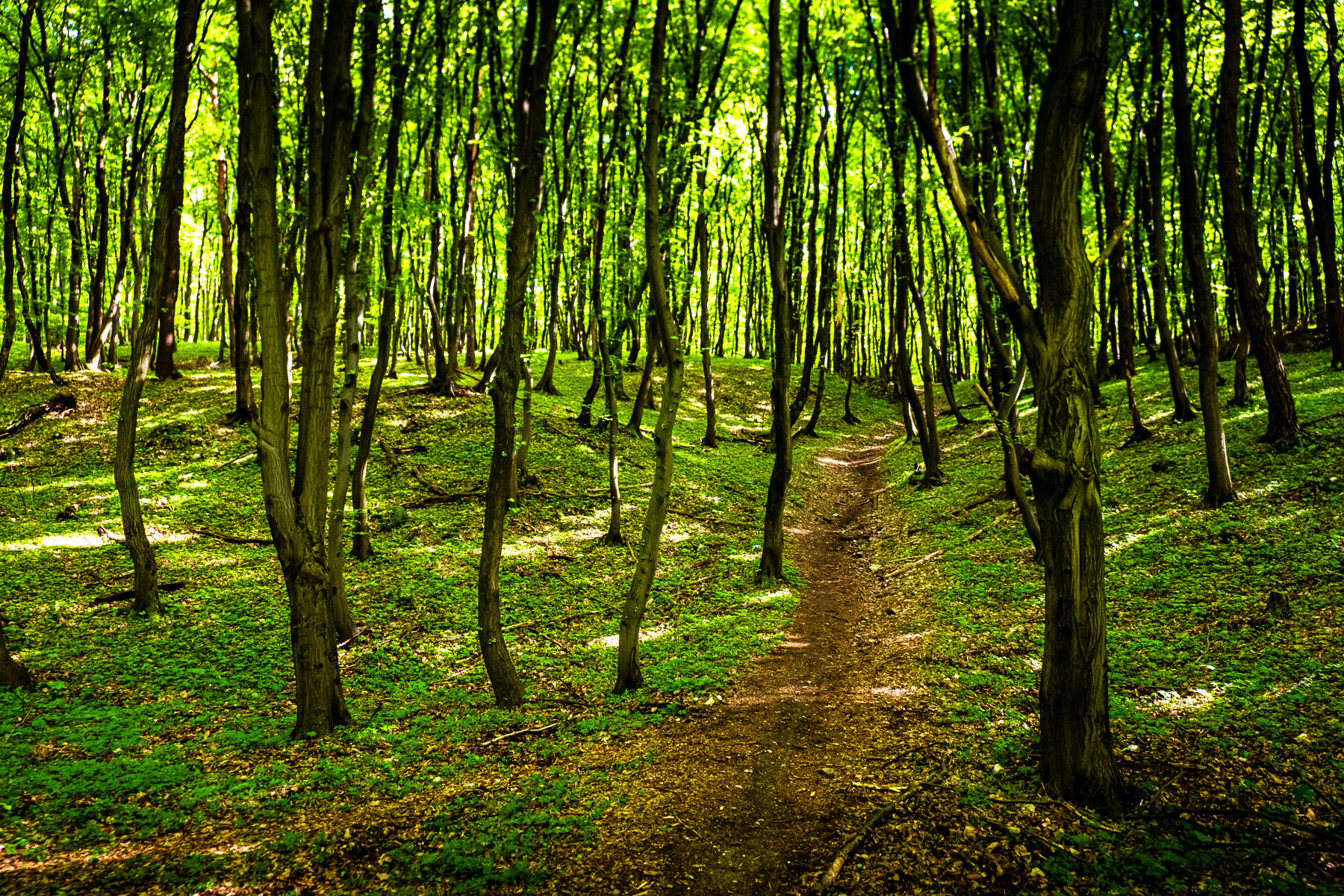
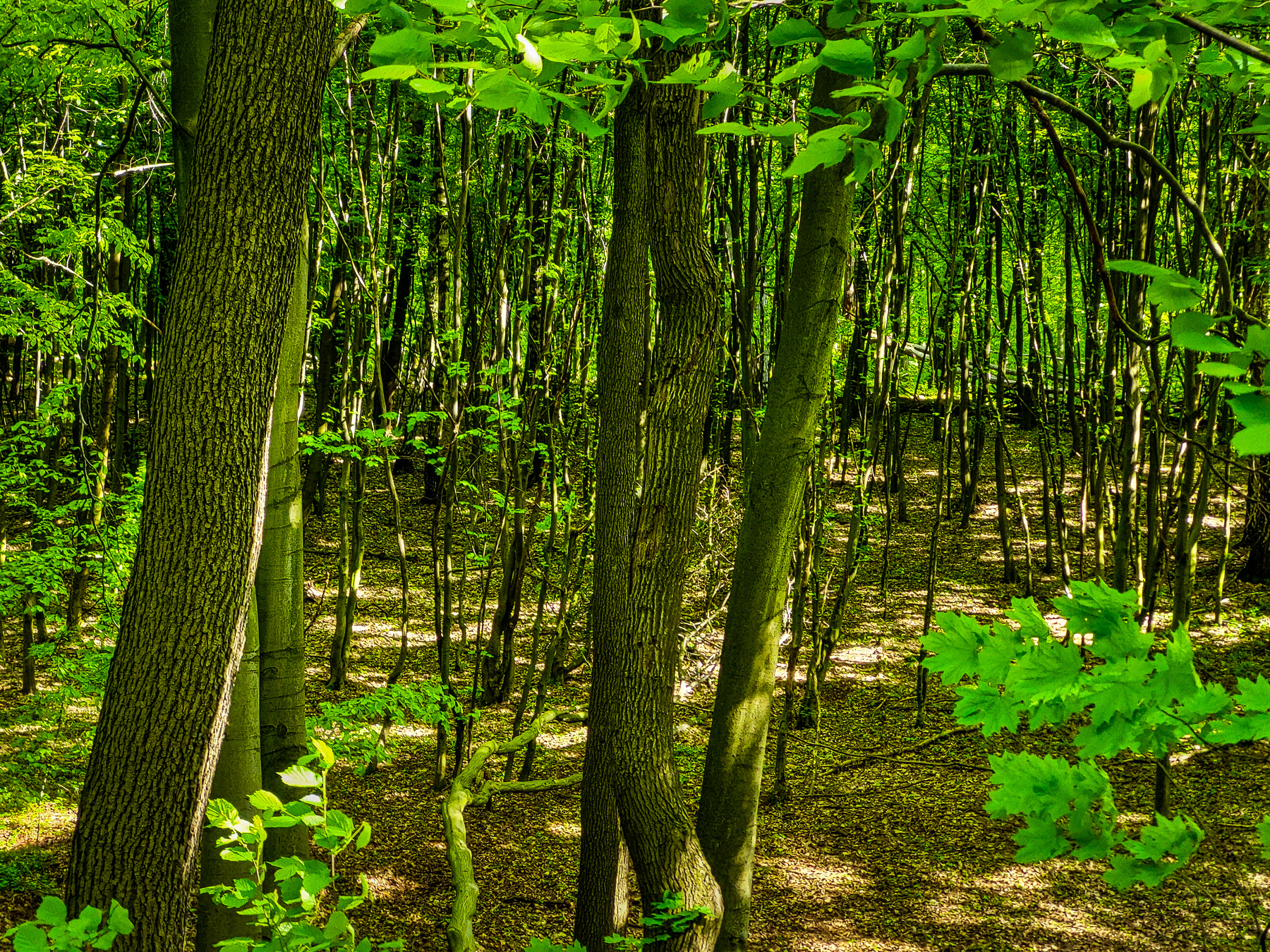
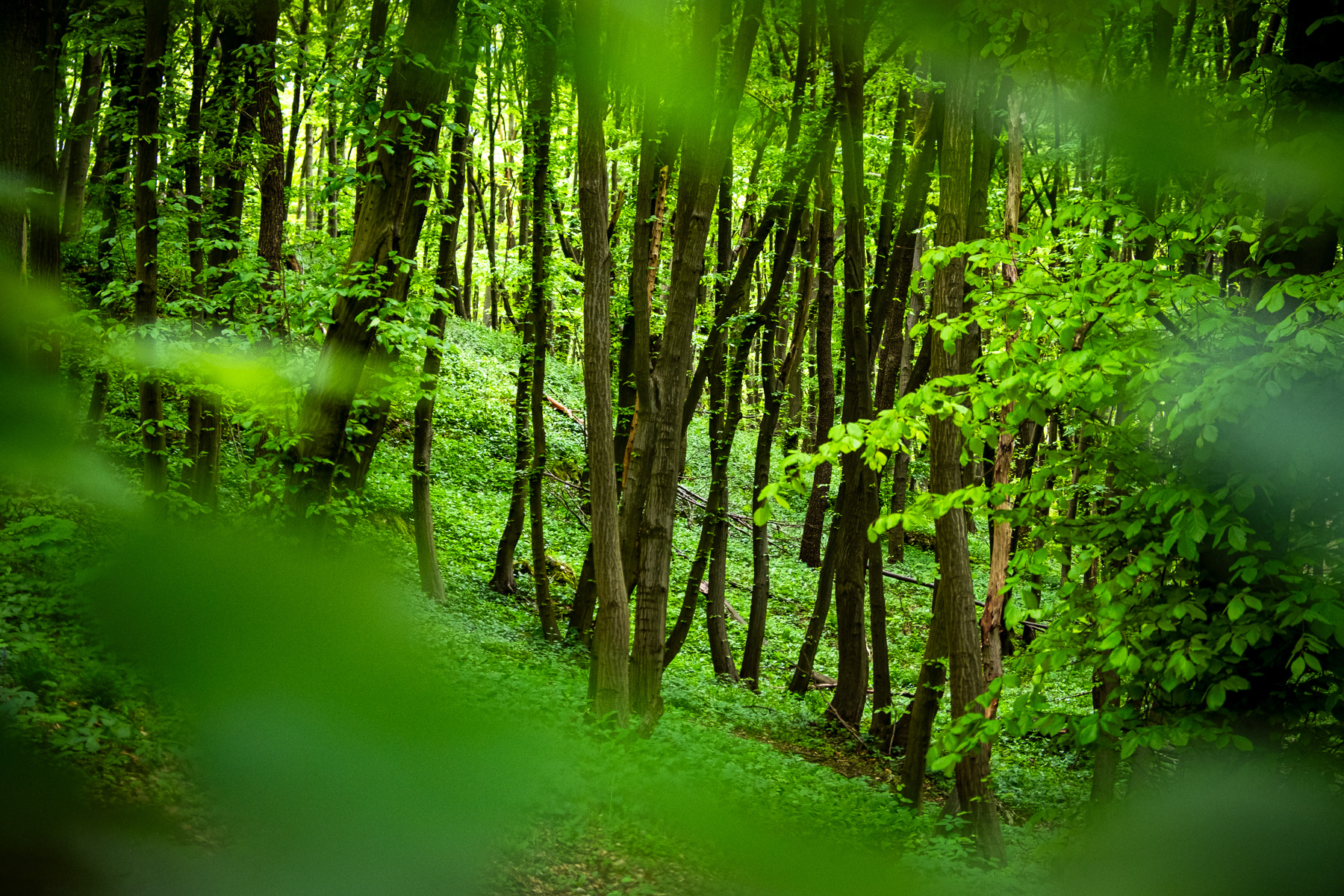
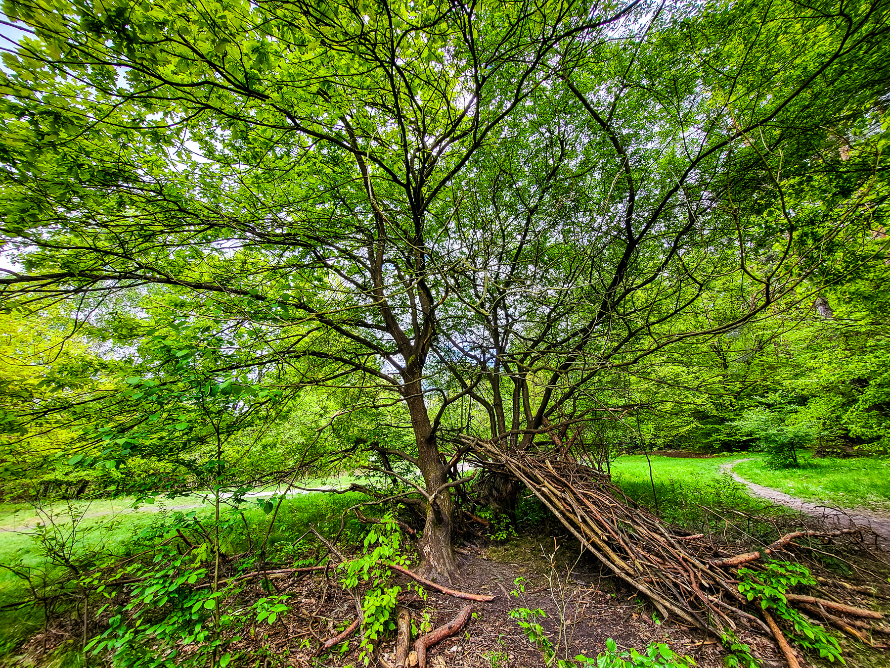
The Lasy Tynieckie south of the car road has its smaller trails, but is in general more travelled than the smaller Skołczanka Reserve on the northern side.

Green-marked main trail of Lasy Tynieckie
The green-marked main trail of Lasy Tynieckie gets you through the entire area in about 3 hours, with the Tyniec Monestary or the mentioned car park as the two best starting points of the 10.8 kilometres long hike. Most peaks are on the southern side, but have no splendid view. These including Guminek (first photo) of 293 metres (961 feet) ASL and Kozobica (second photo) of 282 metres (925 feet) ASL.
Back to Top